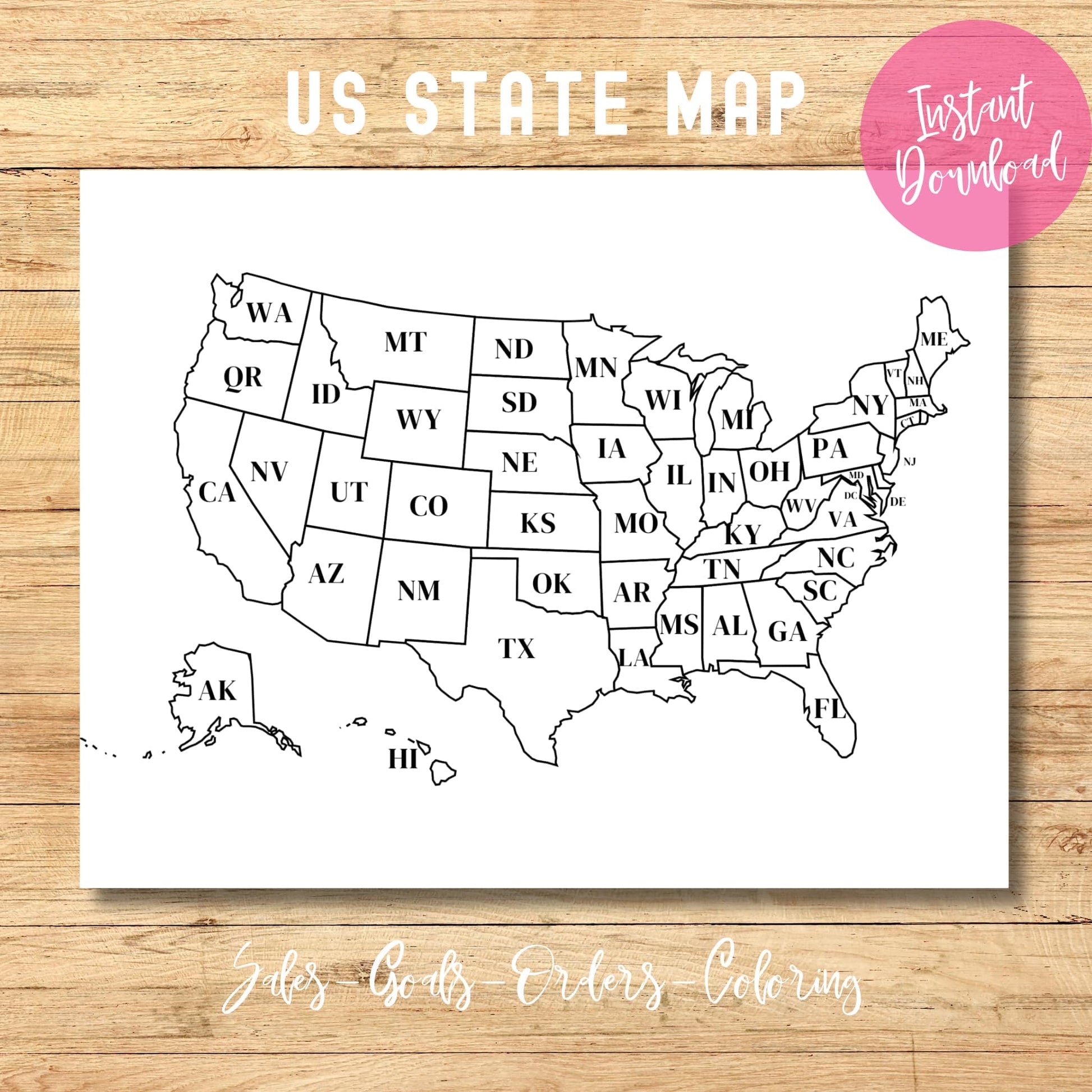


🗺️ Printable United States Map: Track Your Adventures & Sales! 📊
The Perfect Map for Everyone - Instant Download!
Looking for a clean, professional US map that's ready when you are? Our simple yet versatile USA state map gives you exactly what you need in multiple formats!
What You'll Get:
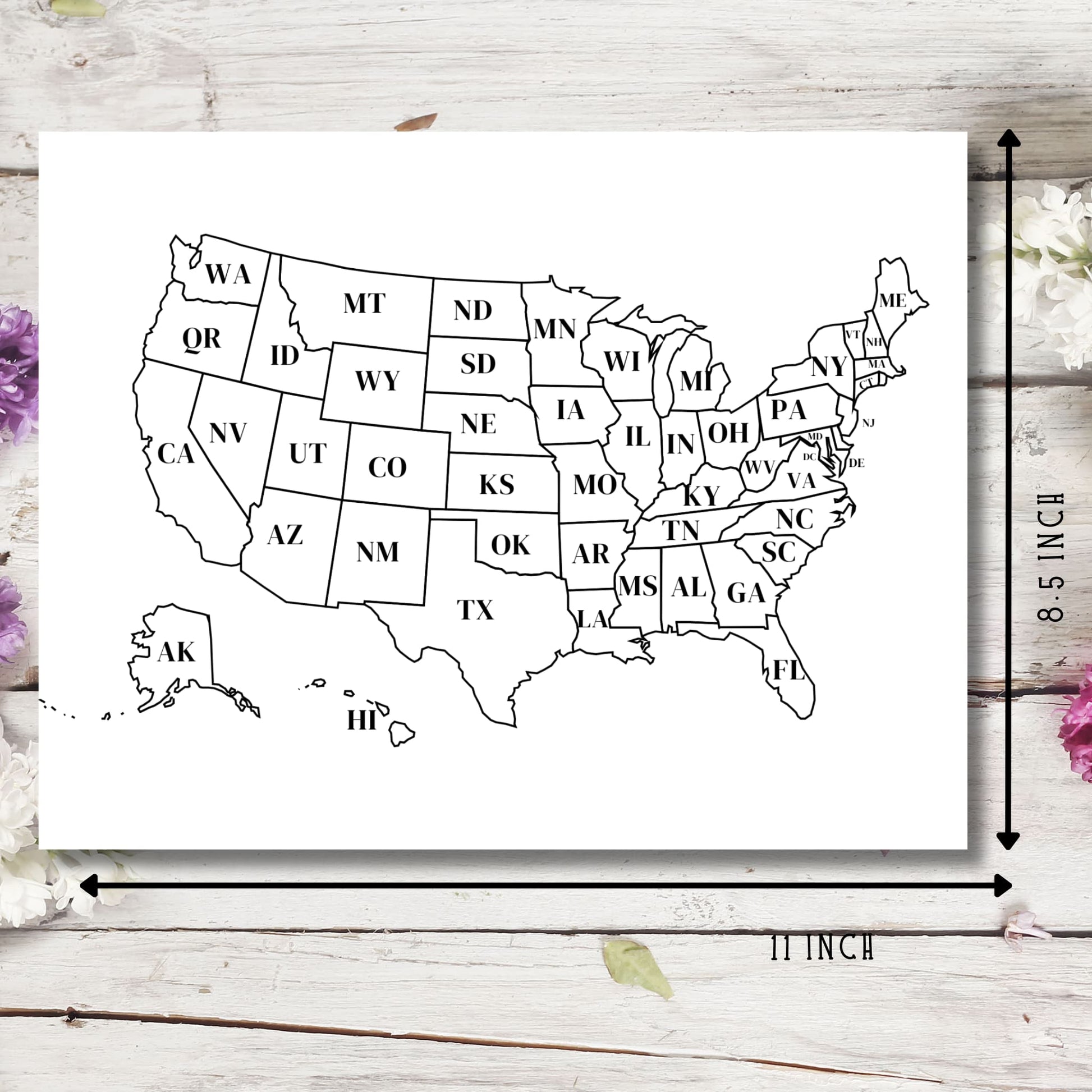
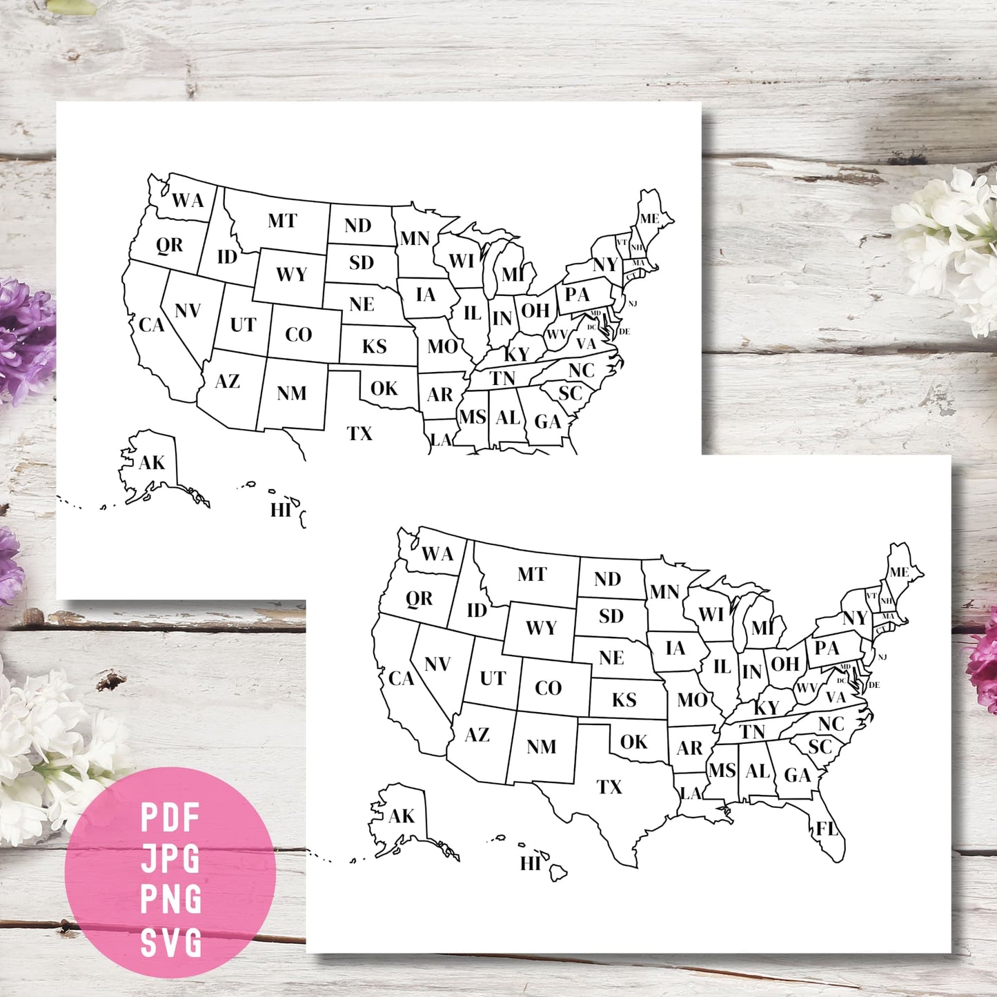
- Complete US Map with all 50 states clearly labeled
- Perfect Size: Standard 11" x 8.5" - fits any home printer
- Multiple Formats: PDF, JPG, PNG, and SVG files included
- Instant Digital Download: Get it now, print anytime!
So Many Ways to Use It:
- 🎨 Color code regions for school projects or presentations
- 📈 Track sales or customer locations across states
- 🚗 Mark visited states for your travel bucket list
- 📝 Teaching tool for geography lessons
- 🏠 Home décor - frame it for a clean, minimal wall art piece
Perfect For:
- Small business owners tracking regional sales
- Teachers and homeschool families
- Travel enthusiasts planning road trips
- Kids learning US geography
- Office presentations and regional planning
Print Tips:
- Works with any home printer (color or black & white)
- Print on regular paper or cardstock
- Laminate for repeated use with dry-erase markers
- SVG file allows for easy resizing without losing quality
Real Customer Use: "I printed this map to track where our online orders come from. Now with a quick glance, I can see which states I need to focus my marketing on!"
Easy Steps:
- Click and download (it's instant!)
- Open and print as many copies as you need
- Start tracking, coloring, or planning today!
This clean, professional map is perfect for both practical uses and creative projects. Download once and use forever - all at your fingertips in seconds!
P.S. Watch how the SVG file lets you resize the map to any dimension without losing clarity - perfect for any project size!